Evandale, Tasmania.
Places:
Ralstons around Evandale, Tasmania
Includes: Nile, Logan, Hampden, Deddington
Not only is Evandale or Morven as it was originally
called, the home of my father's family but also my mother's - the Ralstons. More
on the history of Evandale at a later date.
Evandale, Tasmania.
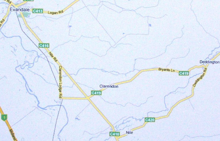
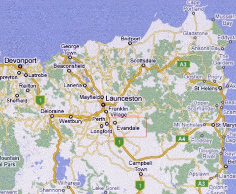
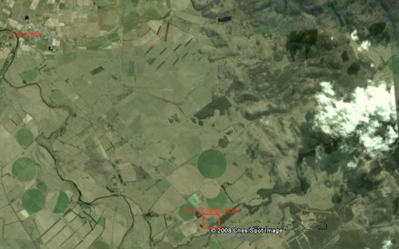
Nile (previously Lymington) is a bout 13 kilometers
south-east of Evandale.
This edited Google map shows Evandale (top left) and the very straight road to
Nile in the red box.
The South Esk River can be seen meandering southward from Evandale and the
tree lined Nile River can be seen
making its course from Nile towards the cloud. Deddington is situated under the
cloud.
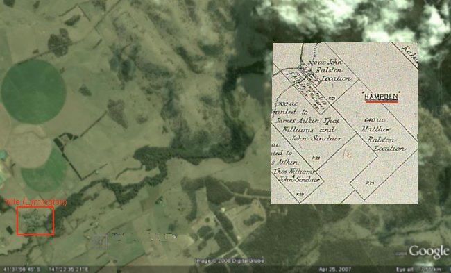
Hampden
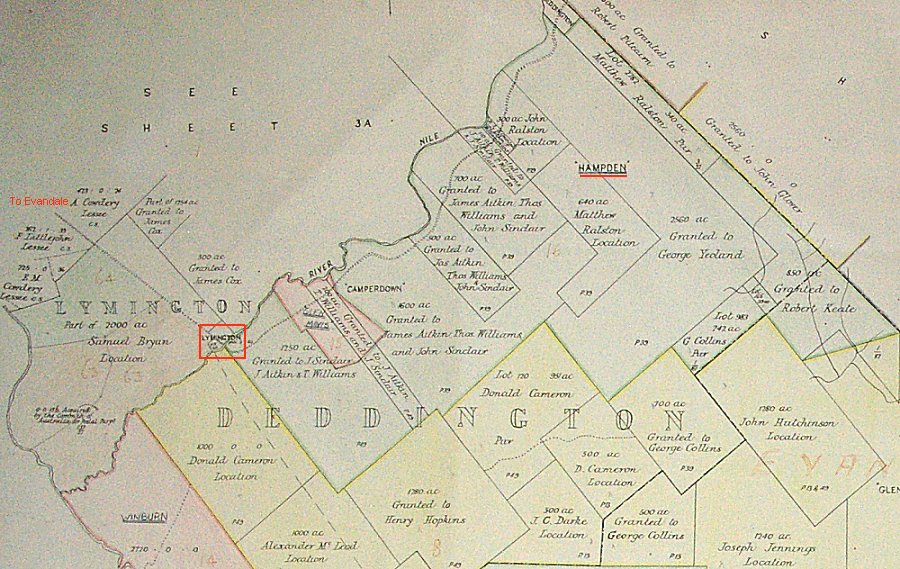
Above is a section from a larger map, on display in
the Evandale Museum, of the Nile/Deddington areas. It quite clearly
shows the the original grant to Robert and sons John and Matthew Ralston and
subsequent purchases and leases. In 1825 John Ralston was granted 300 acres (to
the left of the underlined "Hampden"). In 1829 Matthew Ralston was
granted 640 acres but John later passed on interest in this land to his brother
Matthew and by 1858 it became part of the 3406 acre Hampden owned by Matthew.
Matthew also purchased more land, leased Glen Stewart and Crown land and
owned Marathon. Note the grant of John Glover, the famous artist, to the
east of Hampden.
This edited Google map with has the Hampden section from the previous map
roughly overlaid to show its actual location.
Hampden (about 4000 acres) is near Deddington. which was described as
consisting of an inn, a post-office, a small hall, a few cottages, the ruins of
an old goal and a chapel. Deddington was named by the famous artist John Glover
and his two-story Georgian home Patterdale still stands at Mills Plains.
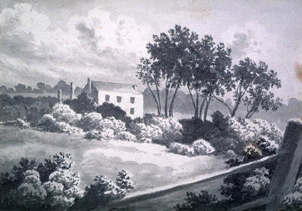
Patterdale still stands at Mills Plains.
Logan
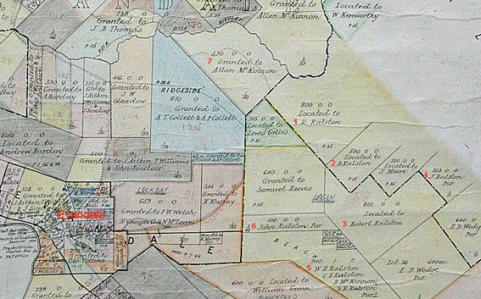
Ralstons were closer to Evandale as well. Detail from an edited map on display
in the Evandale Museum.
Red numbers and label have been added to indicate the creation of Logan.
1. 800 acres located to Robert Ralston.
2. 500 acres, Dalness, located to David Ralston (married Janet Ralston)
3. 800 acres located to Robert Ralston 22/11/1824, Logan.
4. 303 acres purchased by John Ralston
5. 940 acres purchased 1881 by William Henry Ralston, Charles Edward Ralston
(sons of John Ralston), D McKinnon.
Not all of this purchase is visible on this map and contained an area known as the Black
Forest.
6. 100 acres purchased by John Ralston
7. 550 acres granted to Allan McKinnon, husband to John's daughter, Anna.
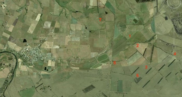
An edited Google map roughly showing the seven locations from the previous map.
Might not be accurate.
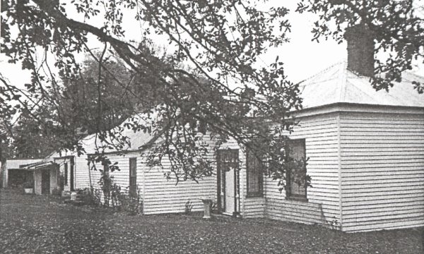
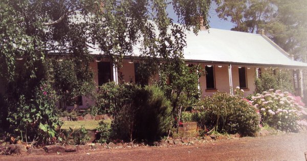
Logan homestead.
It is said that the estates of Matthew Ralston of Hampden and John
Ralston of Logan eventually became a continuous stretch of pastoral land
10 miles (16km) long and 2 miles (3.2km) wide.